
Checking your sign-in…
Members sign in
With a 6-digit code sent to your email. No password. The same account works in Farm Steward.
If the email isn't there, look in spam or promotions. It comes from Venturopoly Farms.
Your account
Signed in as .
Member.
Go to the members' pagePayment received. Your membership switches on in a moment…
This email has no membership yet. Membership isn't open yet; when it is, join with this same email and it switches on here.
You pay through Stripe. Billing is handled by Anabasis Intelligence LLC, so that's the name on your card statement. Cancel any time from this page, and the membership runs to the end of what you paid for.
Free with your account
The same sign-in works in Farm Steward.
Questions about your membership: farms@venturopoly.com
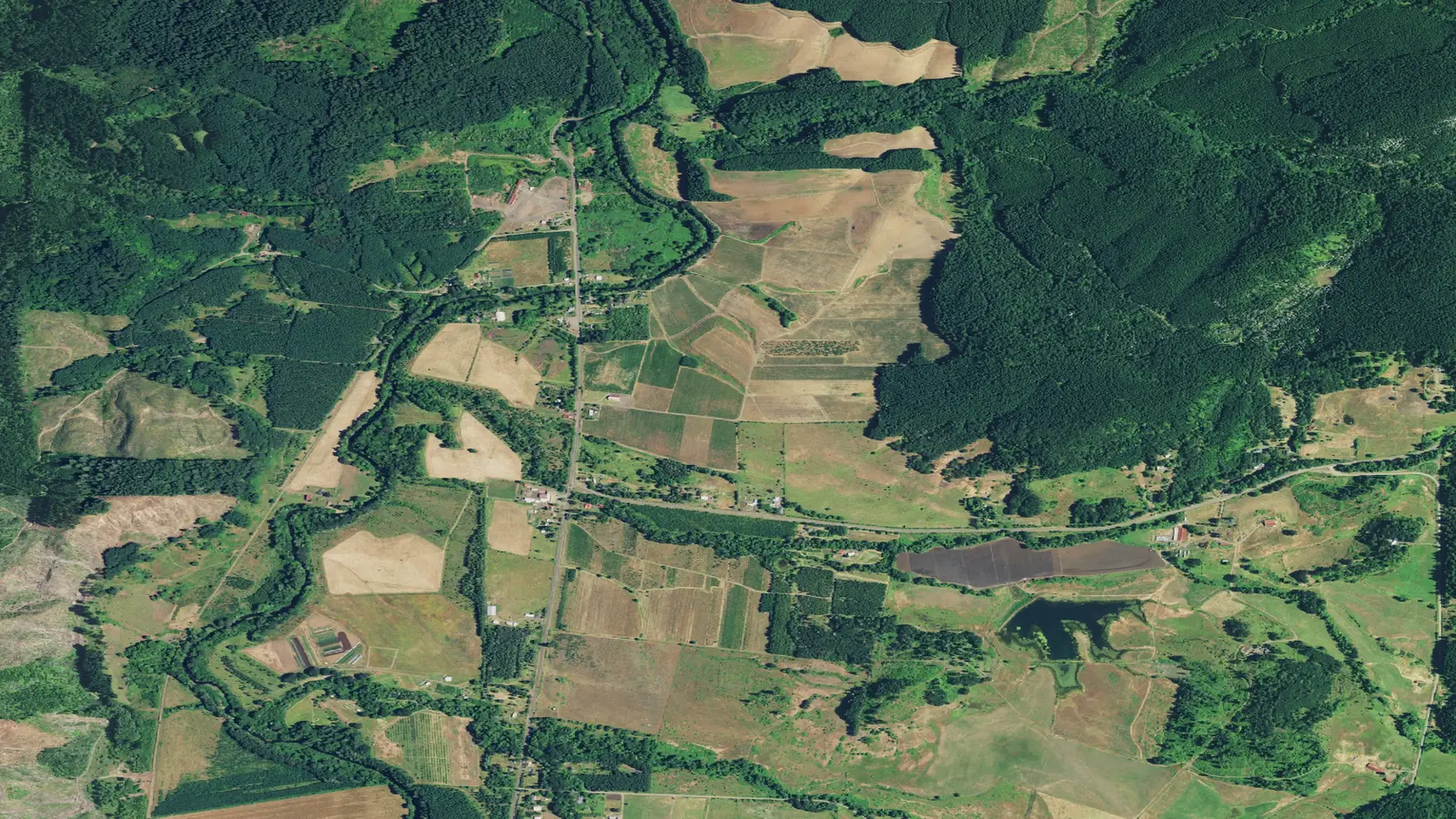
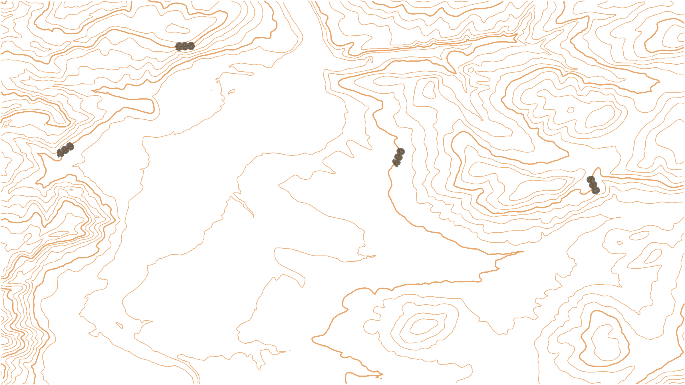
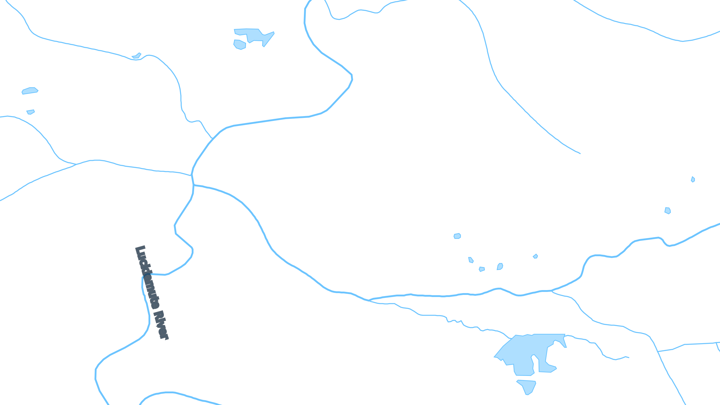
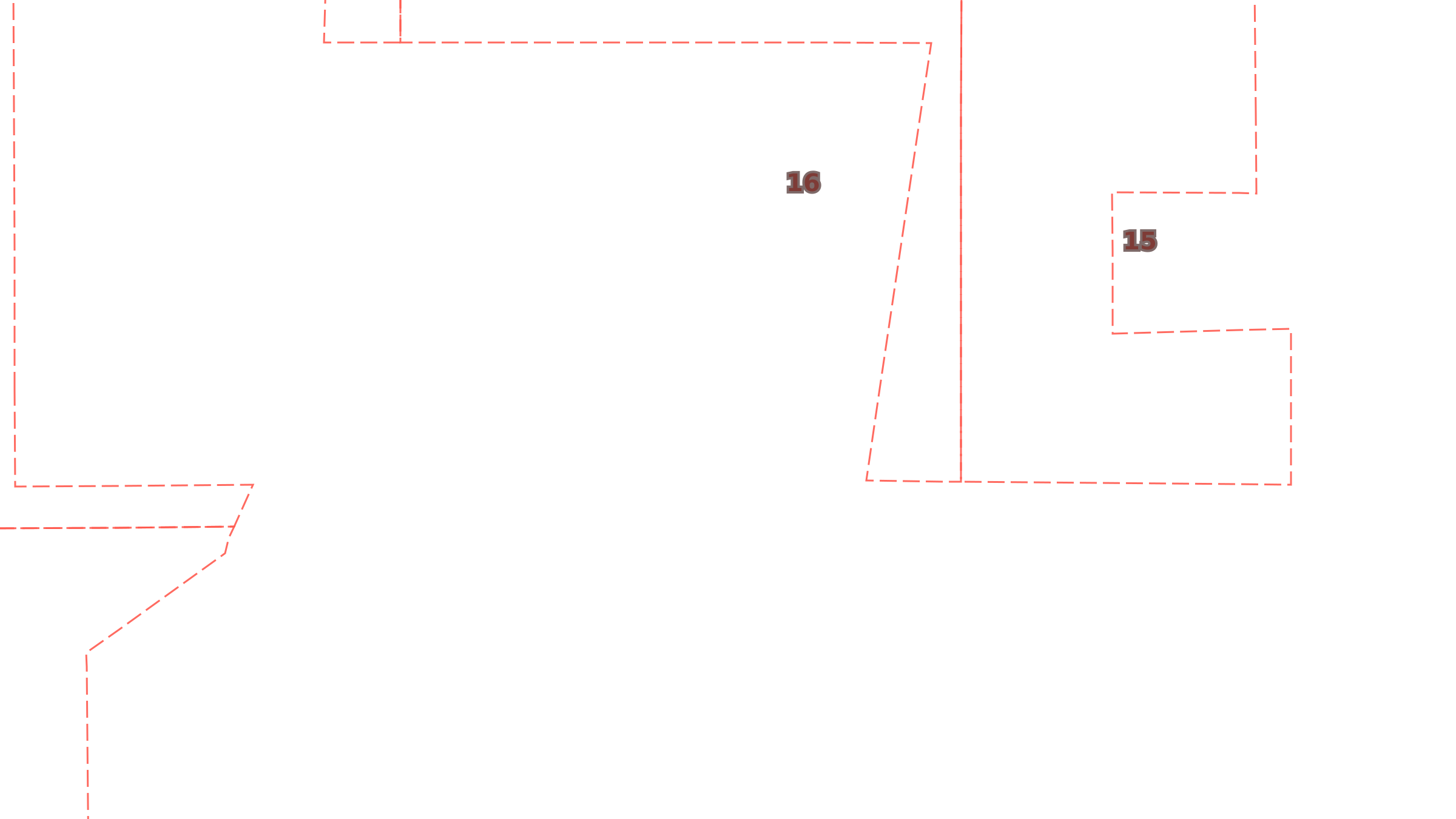
Grazing and hay ground along the Luckiamute River, Kings Valley, Oregon. Not a listing. Imagery USDA NAIP, contours USGS 3DEP (40 ft), water USGS NHDPlus HR, sections BLM PLSS. Public domain.
Sheet 1 · Kings Valley · Oregon Checked Oct 20, 2026